2023-2024
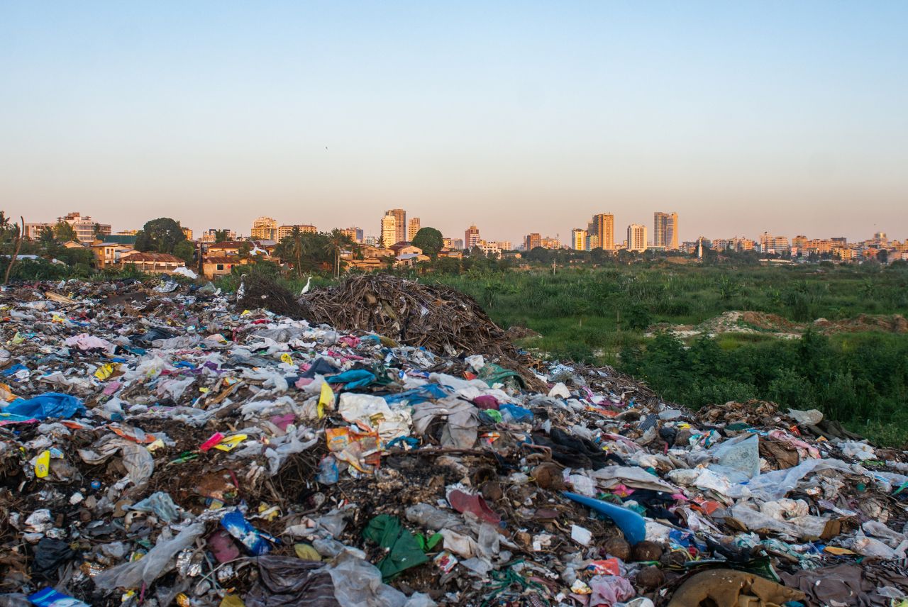
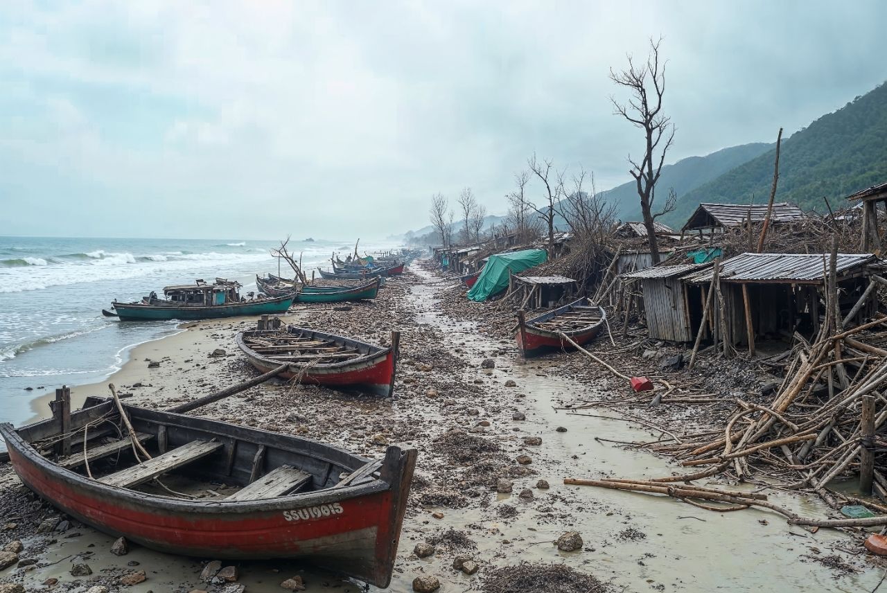
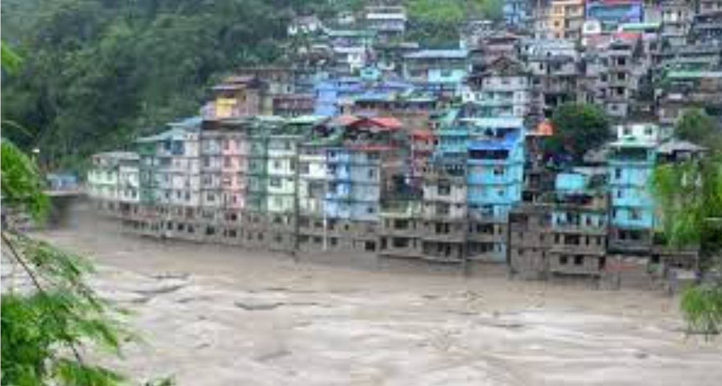
Mumbai, one of India’s largest and most densely populated coastal megacities, faces a complex and growing array of climate and disaster-related risks. The city’s vulnerability stems from both its geographic exposure and expanding urban footprint. Recurrent hazards such as floods, landslides, cyclones, fires, and chemical spills have repeatedly tested the resilience of its infrastructure and communities.
With climate change accelerating the intensity and frequency of extreme events, the need for a scientific and integrated risk management framework has never been more urgent. In response, in collaboration with Esri India, we were commissioned by UNDP and the Brihanmumbai Municipal Corporation (BMC) to develop a Multi-Hazard Risk and Vulnerability Atlas (MHVRA) for the city. By translating climate risk into localised, actionable intelligence, this initiative paves the way for mainstreaming adaptation into disaster management, urban governance, and infrastructure planning – making Mumbai a safer and climate-resilient city.
Our Role
As the lead technical partner, we played a pivotal role in designing and delivering the risk atlas with a strong climate adaptation lens. Key contributions included:
- Integrated Climate Risk Modelling: Incorporated past hazard events and projected climate scenarios (based on IPCC pathways) to map future risks and exposure hotspots in the city.
- Vulnerability Assessment: Conducted multidimensional assessments that combined socioeconomic indicators with spatial hazard data to identify vulnerable populations and infrastructure at risk.
- Climate Adaptation Planning: Developed actionable recommendations for adaptation – such as early warning systems, green-blue infrastructure planning, and climate-resilient housing – to inform BMC’s
disaster risk reduction and climate resilience strategies. - Data-Driven Decision Support: Leveraged GIS and advanced spatial analytics (in partnership with Esri India) to build a dynamic, visual platform that enables city officials to plan, respond, and invest more effectively in resilience.
- Institutional Strengthening: Enabled capacity building within BMC and aligned the outputs with national frameworks such as the National Disaster Management Plan (NDMP) and the State Action Plan on Climate Change (SAPCC).
The Multi-Hazard Risk and Vulnerability Atlas is more than just a mapping tool – it is a strategic climate adaptation instrument. It strengthens Mumbai’s institutional readiness for managing compound climate risks, enhances the integration of climate science into urban planning, and equips decision-makers with a real-time, spatially explicit platform for resilient development.
Scenario-Based MHVRA Integration into Mumbai’s Command and Control System (CCS)
2025-Ongoing
As climate-related hazards intensify, real-time, data-driven decision support systems are essential for building resilient urban governance. Building upon the foundation of Phase I (Mumbai’s Multi-Hazard Risk and Vulnerability Atlas), Phase II integrates scenario-based hazard modelling directly into the Command and Control System (CCS) at the Brihanmumbai Municipal Corporation (BMC) headquarters. This critical advancement transforms risk assessment into operational intelligence-enabling anticipatory, responsive, and adaptive disaster management.
Our Role
We lead the technical design and integration of the hazard simulation and risk analysis platform into Mumbai’s CCS, using advanced GIS tools and live data processing systems in collaboration with Esri India. Our contributions include:
- Real-Time Climate Hazard Modelling: Using remote sensing and GIS-based scenario modelling to
simulate the spatial and temporal impact of hazards like floods, cyclones, heatwaves, and landslides under projected climate conditions. - Automated Impact Scenarios: Embedding dynamic hazard impact simulations that auto-generate response-ready dashboards and reports within the CCS.
- Live Data Feeds Integration: Enabling authorities to monitor, evaluate, and respond to rapidly evolving hazard conditions using weather, tidal, and rainfall telemetry systems.
- Decision Support for Emergency Response: Creating algorithms to identify cascading impacts and suggest prioritised interventions across critical infrastructure, transport, health, and vulnerable populations.
- Adaptation Strategy Alignment: Supporting city-level climate resilience plans with scenario-informed mitigation and adaptation strategies aligned with IPCC projections and national frameworks.